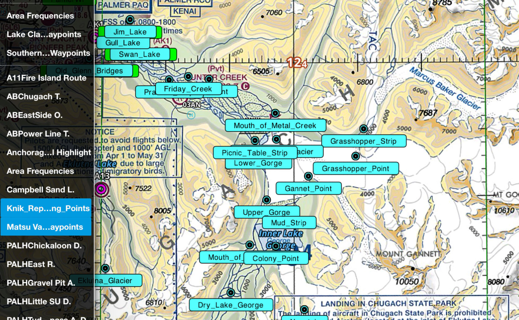
The Knik River Waypoints overlay provides a clear display of the FAA-published VFR waypoints used along the Knik River corridor northeast of Anchorage. These key visual references are commonly used for reporting and navigation through one of Southcentral Alaska’s most popular VFR routes. Each waypoint is precisely labeled and positioned for easy integration into your EFB, helping pilots maintain situational awareness and follow common traffic flows when flying in and out of the Anchorage Bowl.
Knik River Waypoints (Foreflight)
$5.50Price
)